historical
Haveli (KahuTtta)
Forward Kahuta, Haveli
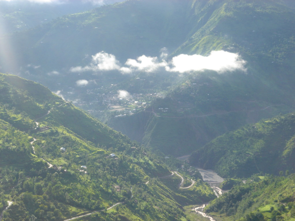
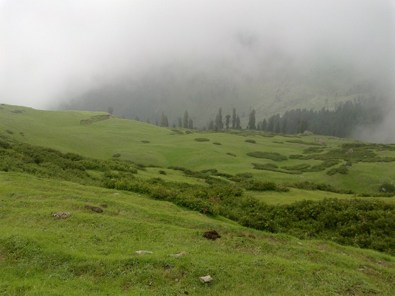
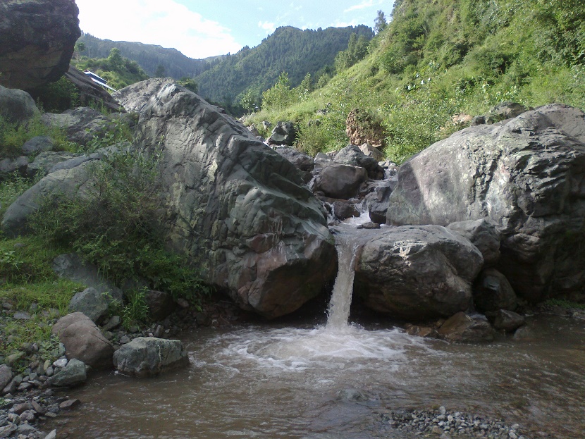
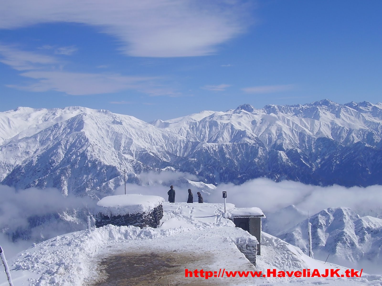
Haveli (Kahutta) newly formed district remained subdivision of district Bagh before July 15th 2009. It is situated at distance of 162 kilometers from Muzaffarabad, capital of AJ&K and at distance of 250Kilometers from Rawalpindi. Its total area is 598 Sq. Kms. According to census of 1998, its total population is 0.112 million. Annual growth rate is 2.00%. Administratively this district has two subdivisions, Haveli and Khurshid Abad. District Haveli enjoys sixty percent literacy rate. Rich fertile land of Haveli is famous for brave and diligent tribes. Roads are metalled and a 4MW Hydel power project is under way at Chanjel. Overall culture is farming anyhow most of the people are related with teaching profession while a reasonable percentage serving the country adopting the professions of army, police, judiciary, civil bureaucracy and politician as well. Large numbers of people are in foreign that are earning there and increasing the revenue of their own country. Region has sound historical background as it served as a safe route between Poonch and Srinagar during Mughal regime.
View on map
Gallery